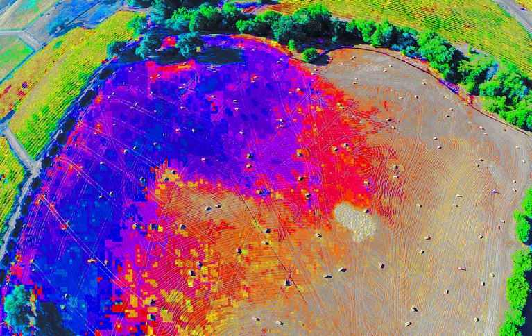
Infrared Survey
Infrared survey is the scanning of an object, or group of objects, with a UAV mounted infrared sensor to determine the operation, temperature, or thermal efficiency of that object.
Some examples of infrared survey applications include power line insulators where a very high level of heat may indicate imminent failure. Buildings can also be assessed with infrared imagery to determine their thermal efficiency. This will highlight whether heat is escaping through windows or doors, for example.
For rescue applications, thermal cameras may be able to identify people in areas at night, or be used by first responders to determine if a building has a fire burning within it, or if people are trapped inside.
Travelling Australia wide, Skyline UAV can come to you and achieve your goals quickly and easily.
