Bushfire Surveys
UAV Bushfire Surveys is the remote monitoring of fires via infrared camera imagery to assist fire fighters in assessing size, speed and direction of fires in difficult to access areas.
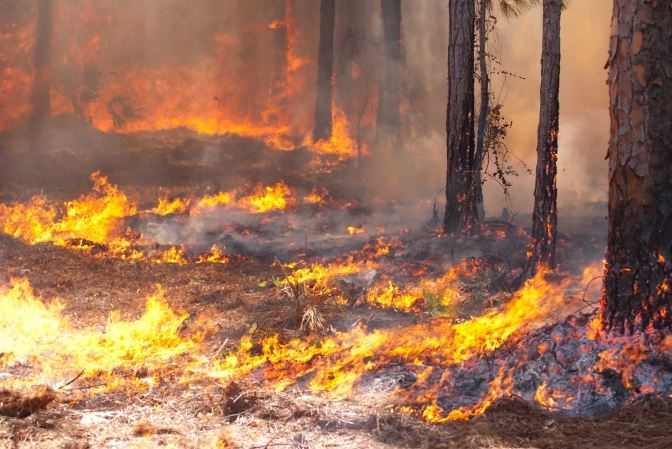
Monitoring the front, or blaze-line of wildfires is essential to monitor speed and direction of the fire in order to co-ordinate response teams.
Utilizing infra-red sensors, a UAV can be monitoring the fire from a distance away, providing valuable insight to co-ordinators on the ground – especially if the responders have to evacuate the area to refill water tanks or swap out personnel.
With excellent zoom rates and stability, the UAV can quietly sit out of the way. It can also back-scan the fire front, ensuring that no hot spots are left behind, waiting to flare up if the wind direction changes.
Yes, a full size helicopter may be able to achieve the same outcome, but at what cost? Having a big machine, with two air crew onboard is costly. A UAV can achieve the same thing for a fraction of the cost – and it can also record all the action on the ground, providing an excellent post-action review or training analysis.
Travelling Australia wide, Skyline UAV can come to you and achieve your goals quickly and easily.