Aerial Mapping
Plan, fly, process.
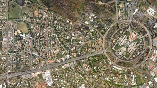
Creating maps and charts for various reasons is still a big industry today and having something more concise than an aerial picture of an area is highly helpful and advantageous.
The Vapor 55 or 35 can be used for mapping. The 35 is a little more nimble, but choice is usually dictated by payload, so the big camera goes on the 55. Choosing the payload depends upon the level of output you require. Higher levels of clarity and size will mean a bigger camera.
With remote payload activation, either platform can fly to a very precise location and take still photographs. This means a geo-referenced point can be flown to, picture taken and then retreat back to base. No filing of the entire voyage to make sure you get something of the area you need.
Offering both flight services and post flight data analysis and conversion to suit, Skyline UAV can be your one stop aerial mapping shop, so get in touch today to discover just how convenient our services can be.
Travelling Australia wide, Skyline UAV can come to you and achieve your goals quickly and easily.