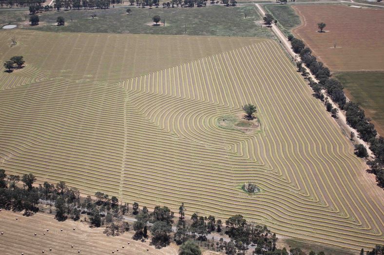
Aerial Surveying
UAV Aerial Surveying is a catch all phrase that really covers all forms of aerial sensing and imagery. It will include lidar, photogrammetry, infra-red and multi-spectral imaging to name a few.
So why separate it out? Well, some operators will say they can do ‘aerial surveying’ – because this may be the phrase on their approval certificate from CASA. But do they have access to the sensor packages to do it all? Well, maybe.
Part of the challenge when talking about Aerial Surveying with a new client is to understand not what they want, but what they need the output – or end result – to be. This is where our technical expertise comes into play. Yes, you can take still pictures and run algorithms to calculate what the image may represent. If an estimate is all you need then this is fine. If however, you require a 10cm level of accuracy, then lidar is what you really need.
So yes, we do Aerial Surveying. Perhaps though, what you need is something that we can recommend so you only have to do the job once….
Travelling Australia wide, Skyline UAV can come to you and achieve your goals quickly and easily.